

MCZ Invertebrate Zoology 155551
Cyrtaphe neiba Pérez-Asso, 2010
Paratype of Cyrtaphe neiba
Date Collected:
2006-11-06
Central America: Dominican Republic: Independencia Province: Greater Antilles: Hispaniola | Between Sabana Real and Pirámide 204, 4-5 km from Sabana Real, N Angel Feliz and La Descubierta, Sierra de Neiba National Park
occurrenceID: https://mczbase.mcz.harvard.edu/guid/MCZ:IZ:155551

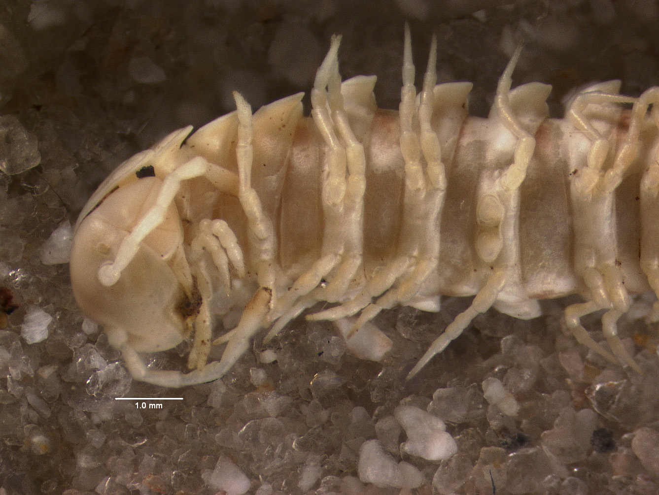
(Media Record) (Related) (Full)
Shows Cataloged Item: MCZ:IZ:155551 Cyrtaphe neiba Paratype
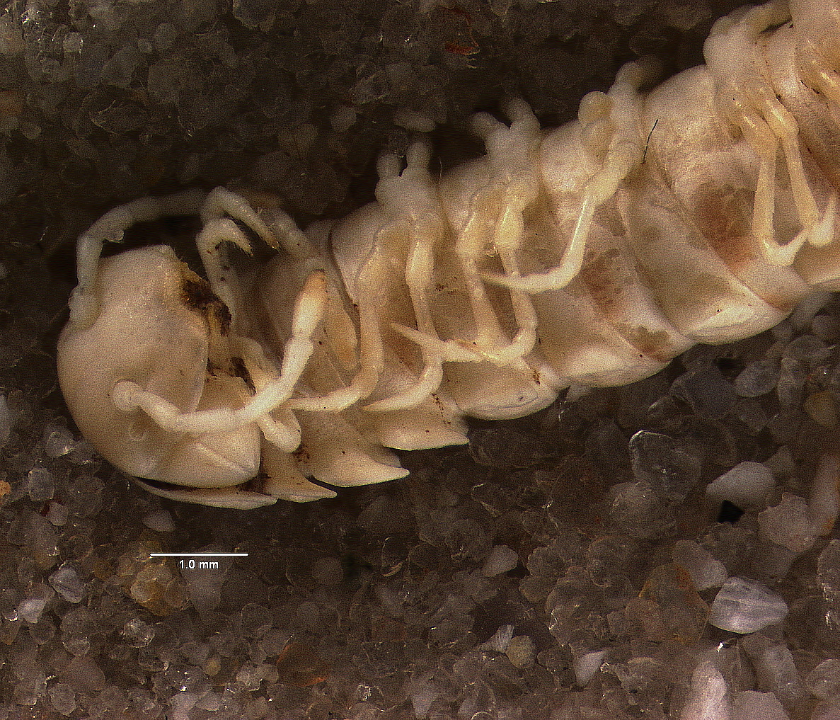
(Media Record) (Related) (Full)
Shows Cataloged Item: MCZ:IZ:155551 Cyrtaphe neiba Paratype
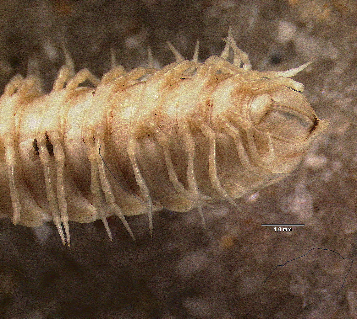
(Media Record) (Related) (Full)
Shows Cataloged Item: MCZ:IZ:155551 Cyrtaphe neiba Paratype
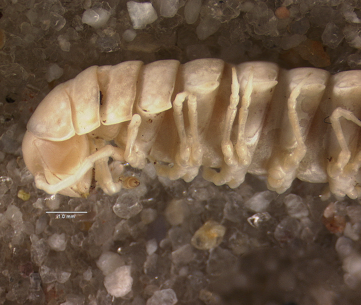
(Media Record) (Related) (Full)
Shows Cataloged Item: MCZ:IZ:155551 Cyrtaphe neiba Paratype
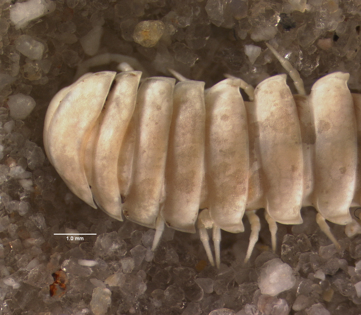
(Media Record) (Related) (Full)
Shows Cataloged Item: MCZ:IZ:155551 Cyrtaphe neiba Paratype
- Collection: Invertebrate Zoology
- Catalog Number: 155551
- GUID: MCZ:IZ:155551
Current Identification
Cyrtaphe neiba
Pérez-Asso, 2010
Animalia Arthropoda Diplopoda Helminthomorpha Merocheta Polydesmida Chelodesmidea Chelodesmidae
Determiner: Antonio R. Pérez-Asso
Nature of ID: type ID
- specimen code: 6610
| Part | Condition | Disposition | Count | History |
|---|---|---|---|---|
| whole animal (70% ethanol) | good | in collection | 1 | Part History |
| Attribute | Value | Determination | On |
|---|---|---|---|
| sex | female | By: Antonio R. Pérez-Asso |
- None
- None
- None
- Continent:
- Central America
- Country:
- Dominican Republic
- State/Province:
- Independencia Province
- Island Group:
- Greater Antilles
- Island:
- Hispaniola
- Specific Locality:
- Between Sabana Real and Pirámide 204, 4-5 km from Sabana Real, N Angel Feliz and La Descubierta, Sierra de Neiba National Park
- Verbatim Locality:
- Entre Sabana Real y Pirámide 204, a 4-5 km de Sabana Real, al N de Angel Feliz y La Descubierta, Parque Nacional Sierra de Neiba (Independencia)
- Habitat Description:
- Under stones, leaf litter and rotten logs, in cloud forest
- Georeference:
- 18.6640880°, -71.703105° (Error radius: 5000m) By: Penny Benson on 2020-06-10 (Source: Google Earth)
- Datum:
- WGS84
- Coordinates Entered As:
- decimal degrees
- Collecting Source:
- wild caught
- Collected On:
- 2006-11-06
- Verbatim Date:
- Nov 6, 2006
- Collectors:
- Antonio R. Pérez-Asso; Héctor Andújar
- None
- None
- [Masked]